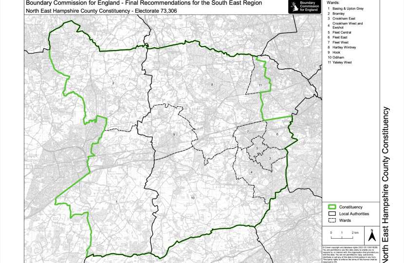
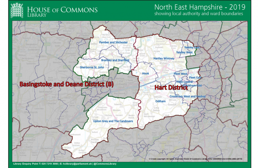
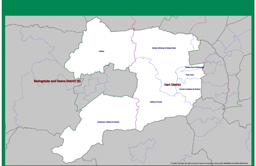
The constituency boundaries of the North East Hampshire changed at the 2024 election. Some of the maps above show the changes that have taken place.
It might be helpful to explain a little more about our constituency, the towns and villages it includes, and the different tiers of local authority that represent you too.
The Parliamentary Constituency of North East Hampshire is among the most beautiful in all England. Its major town is Fleet – which is bordered by Church Crookham and Elvetham Heath – and it also includes Bramley, Crondall, Crookham Village, Eversley, Greywell, Hartley Wintney, Hook, Long Sutton, Odiham, Old Basing and Lychpit, Sherfield on Loddon, Upton Grey and the west of Yateley. The boundaries of this Parliamentary seat encompass some of the most desirable and affluent towns and villages anywhere in the country.
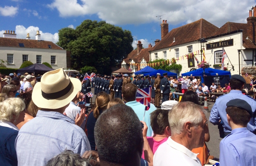
The area also has a long association with the Armed Forces. RAF Odiham is a front line support helicopter base working within the Joint Helicopter Command. North East Hampshire is well served by transport links, as well as having direct train routes into London. Consequently, the area is popular with commuters, but it also contains many flourishing local businesses.
Borough or District Council
Much of our interaction with the council is through our borough or district council – and there are two covering North East Hampshire. You can see this in the map above.
To the west, we have Basingstoke and Deane Borough Council, which covers the villages within the Wards of Basing and Bramley.
To the east, we have Hart District Council, which covers Hartley Wintney, Hook, Odiham and surrounding villages in the centre of the constituency, as well as Yateley West, Fleet and Church Crookham in the east.
Whichever one represents your neighbourhood, your borough or district council is responsible for bin collections, planning applications and administering your council tax – a part of which they pass on to the county council.
While some people might say Hart voted one way in any election or decision, it is important to know that North East Hampshire does not include all of Hart District and represents significant two big Wards of the Borough of Basingstoke and Deane too.
County Council
As well as the borough and district council ward boundaries, each Hampshire County Council councillor represents a division in our constituency. As you can see from the map above, these are larger than the district council wards and don’t necessarily line up. Hampshire County Council is responsible for our local roads, schools and social care.
You can find out who your councillors are at: https://www.writetothem.com
We also have a directly elected Police and Crime Commissioner for the whole of Hampshire and two Integrated Care Boards (ICBs) are responsible for making decisions about NHS spending in our area.

